
Reviewed · HIKING & TREKKING
Discovery hike along the Trondheimsfjord
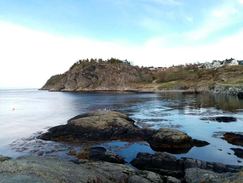
The most appealing thing about this 6 km coastal hike is its mix of nature and local stories. You walk beside the Trondheimsfjord on the Ladestien, stopping at beaches, viewpoints, and World War II remains rather than simply following a path with no context. I like the relaxed pace and the chance to see a quieter side of Trondheim beyond the city center. I also like the one-way route, which lets you cover more ground without retracing your steps.
The main consideration is practical: this is a medium-difficulty walk, not a flat city stroll, and Norwegian weather can change quickly. You also need to arrange transport at both ends, since the hike starts in Korsvika and finishes near Rotvoll.
Key points to know before you go
- A 6 km one-way route: You walk from Korsvika to Rotvoll, with no return to the starting point.
- World War II history on the path: The Østmarka German bunker and other remains add a serious historical layer to the coastal walk.
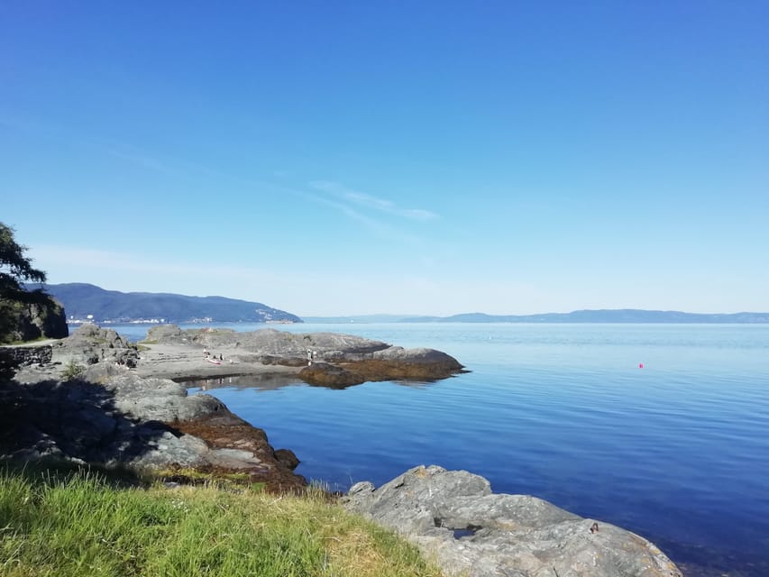
- Several planned photo stops: Korsvika, Ladekaia, Sponhuset, and Devlebukta all break up the hike.
- A local guide who adds context: Gaël explains Trondheim’s history, local life, politics, plants, and wildlife in French or English.
- Useful public transport connections: Bus 2 gets you close to the start, while bus 20 serves the return from Rotvoll.
- A seasonal outdoor activity: The hike runs from March through October, so clothing and footwear matter.
Why this walk shows you a different Trondheim
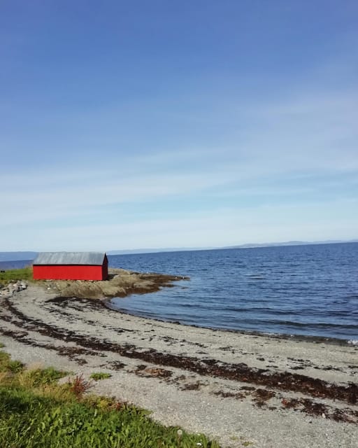
Trondheim is easy to enjoy from its center, but the Ladestien gives you a broader sense of the city. This coastal path crosses the Lade peninsula and follows the Trondheimsfjord through a mix of shore, greenery, beaches, historic sites, and residential edges.
I like this kind of outing because it feels connected to everyday Norwegian life. You are not being taken from one major sight to another by vehicle. You are walking, stopping to look, and learning how the coast fits into the city’s story.
The route covers about 6 km in roughly two and a half hours. That timing suggests a steady but unhurried pace, with room for explanations and photographs. The guide can adapt the walk to the group, and one past outing continued with only one participant, which is useful to know if you are visiting outside the busiest periods.
The tour is available from March to October. Spring and autumn can be especially changeable, so bring layers and proper shoes rather than treating this as a casual promenade. The route is rated medium, and the tour is not suitable for wheelchair users.
More Hiking Tours in Trondheim:
- From Tromsø: Snowshoeing Hike with Picnic Lunch and Photos
★ 4.8 · 637 reviews - From Tromsø: Guided Husky Snowshoe Hike and Husky Camp Visit
★ 4.9 · 555 reviews - From Tromsø: Snowshoe Hike in the Arctic
★ 4.9 · 467 reviews
Starting at Korsvika beside the fjord
You meet at the Korsvika parking lot. The guide carries a Gaël & Maëlle Travel sign, making the meeting point easier to identify.
From central Trondheim, take bus number 2 toward Strindheim and get off at Ingemann Torps vei. Buses run about every 10 minutes, and the parking lot is less than five minutes from the stop. That is a fairly simple start, but allow enough time to find the stop, buy a ticket, and walk to the meeting point.
Korsvika is the first photo stop and sets the tone for the day. You begin beside the Trondheimsfjord, with open views and the feeling of leaving the city behind without traveling far. This is a good place to get your camera ready, but do not spend too long photographing the first view. More stops are coming.
The value of starting here is that the walk gets going quickly. There is no long transfer into the countryside and no complicated trailhead. You meet the guide, hear how the route will work, and start along the coast.
Østmarka and the German bunker
One of the most meaningful points on the walk is the German bunker at Østmarka. The remains connect the natural setting with Trondheim’s wartime past.
A bunker can be easy to overlook if nobody explains what you are seeing. Here, the guide provides the historical setting and helps you read the site as part of the wider story of the city and the Lade peninsula. The contrast is striking: you are walking beside a peaceful fjord, yet the path also carries evidence of military occupation and the Second World War.
This stop is a good example of why the guide adds value. You could follow the Ladestien alone, but you might pass the ruins without understanding their purpose or place in local history. Gaël’s explanations turn a physical remnant into a reason to pause.
The site also adds variety to the walk. The day is not only about views and fresh air. You get a mixture of nature, memory, and local history, which makes the outing feel more substantial than a basic scenic walk.
Ladekaia, Sponhuset, and the rhythm of the route
As you continue, Ladekaia provides another photo stop. This part of the route helps show how the coast and the city sit together. You remain close to Trondheim, but the pace is slower and more open than in the central streets.
The guide’s role here is not just to point out views. Gaël can talk about Trondheim’s history and present-day life, along with the flora and fauna of the Lade peninsula. One of the strongest features of the tour is this blend of subjects. You are not limited to a single historical period or a narrow nature lesson.
Sponhuset is another planned stop. The sequence of short pauses matters. A two-and-a-half-hour walk can feel long if it is one continuous push, but photo stops give you natural breaks. They also let you take in the route at a human pace instead of rushing from start to finish.
A short café stop may be possible if the timing fits. It is not included as a guaranteed part of the tour, and food and drinks are not included in the price, so bring your own water and any snack you need. If a café visit matters to you, ask the guide about the possibility at the beginning.
A few more Trondheim days to weigh up
- Trondheim Like a Local: Customized Private Tour
★ 4.7 · 92 reviews - Trondheim : Explore the city of kings with a local guide
★ 4.8 · 70 reviews - Trondheim: 2-hour City Walking Tour
★ 4.2 · 51 reviews - Trondheim: Discover the city of kings with a local guide
★ 5.0 · 41 reviews
Devlebukta and the coastal finish
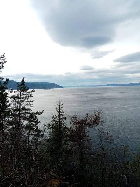
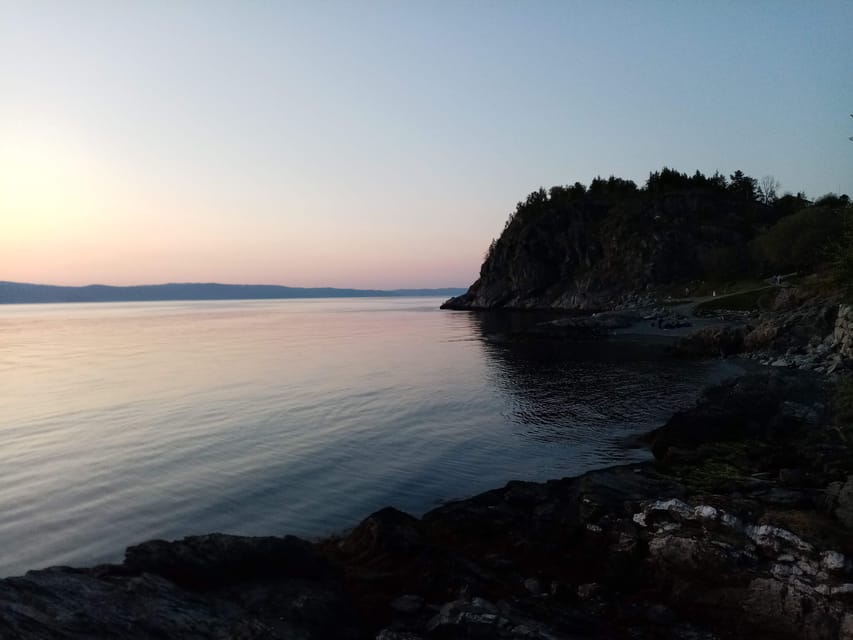
Devlebukta is the final named photo stop before the walk ends near Rotvoll. The bay gives you another chance to enjoy the fjord and compare this stretch of coast with the earlier sections.
One advantage of the one-way design is that the views and surroundings keep changing. You are not walking back over the same 6 km, and the route has a sense of progress. The tradeoff is that you need to think about your return journey before setting out.
The finish is at Rotvoll in Trondheim. From there, Rotvoll bus stop is about 10 minutes from the end of the hike. Bus number 20 toward Romolslia can take you back toward the city center, with buses running roughly every 15 to 30 minutes.
Download the official ATB app before the tour. It provides current timetables and lets you buy Trondheim public transport tickets. This is one of those small preparations that makes a one-way walk much easier.
What Gaël adds to the walk
The guide is a major part of the experience. Gaël has been described as attentive, good-humored, and able to explain the area in an engaging way. He talks about the history of Trondheim, local politics, Norwegian life, and the natural world around the path.
That range is useful because the Ladestien is not a single-subject attraction. You might stop at a wartime ruin, then move on to a beach or viewpoint. You may hear about local plants and animals in one stretch, then learn how the area fits into Trondheim’s development.
The guide also helps set the right tone. This is presented as a relaxing hike, not a race or a demanding expedition. The explanations are part of the walk, so you have time to listen, ask questions, and take photographs.
French and English are offered. If you are more comfortable in French, this can be a particularly useful way to learn about Trondheim without relying on a written guide or translation app.
The scenery, plants, and wildlife
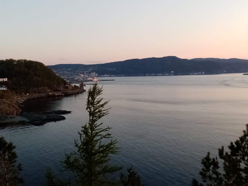
The tour includes explanations about the flora and fauna of the Lade peninsula. The available information does not promise sightings of particular animals or identify every plant, so you should not book it as a wildlife-spotting trip.
What you can expect is a closer look at the natural setting while you walk. A guide can point out features you might otherwise ignore and explain how the coastal area fits into local life. That makes the scenery more than a backdrop for photographs.
The fjord views are the main visual draw. You get several designated photo stops, including Korsvika and Devlebukta, with additional pauses at Ladekaia and Sponhuset. The route should suit you if you want pictures but also want someone to explain what you are seeing.
Weather will shape the experience. The tour runs outdoors, and Norwegian conditions can be unpredictable. Comfortable clothing, comfortable shoes, and weather-ready layers are the sensible choice. You should also notify the provider as soon as possible if you are running late, since this is a guided one-way walk.
What the $72 price includes
At $72 per person, the price covers the local guide and the hiking tour. It does not cover food or drinks, and you should also plan for your public transport tickets to and from the route.
The value depends on what you want from a walk. If you only need a path and fjord views, you can explore Trondheim’s coastal routes without paying for a guide. If you want the historical remains explained, local context added, and the route organized from one end to the other, the fee is easier to justify.
I see the strongest value in the guide’s commentary and the structure. You do not have to research the bunker, plan the most interesting stops, or work out a sensible 6 km route yourself. You also get a chance to ask questions about Trondheim and Norwegian life as you walk.
This is not a food tour or a private vehicle excursion, and there are no listed extras included. Pack your own drink and snack, and think of the price as payment for a guided outdoor outing rather than an all-inclusive activity.
Who will enjoy this hike most
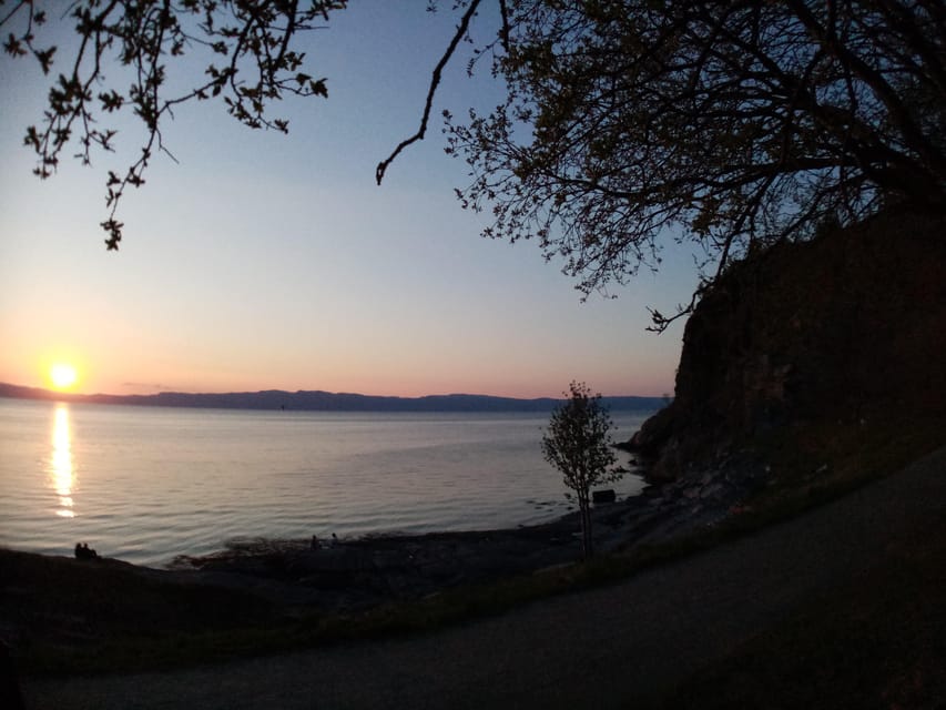
I would recommend this walk to you if you want a break from museums, old streets, and standard city sightseeing. It suits people who enjoy walking at a moderate pace and prefer local stories to a long list of headline attractions.
It is also a good match if you want to see Trondheim from the coast. The path gives you fjord views, beaches, historic remains, and open-air explanations in one outing.
You should think twice if you dislike uneven outdoor routes, have difficulty walking 6 km, or need a fully accessible path. The activity is not suitable for wheelchair users, and the medium difficulty rating should be taken seriously.
The one-way format is another factor. Some people will like continuing through new surroundings. Others prefer a loop that brings them back to the start. If you choose this hike, make sure you are comfortable using public transport after the walk.
Practical details that make the day easier
Wear comfortable walking shoes and clothing suited to changing weather. The route is outdoors from beginning to end, so a waterproof layer is sensible even when the forecast looks good.
Meet at the Korsvika parking lot and look for the Gaël & Maëlle Travel sign. Bus 2 from the city center goes toward Strindheim and stops at Ingemann Torps vei. From there, allow about five minutes on foot.
At the end, walk about 10 minutes from the finish to Rotvoll bus stop. Bus 20 toward Romolslia goes back toward the city center. Check the ATB app for current times and tickets, since the return buses may be 15 to 30 minutes apart.
The tour lasts about two and a half hours and is offered between March and October. Starting times vary, so check availability when booking. Free cancellation is available up to 24 hours in advance, and you can reserve now and pay later.
Should you book the Ladestien hike?
Book it if you want a calm, informative way to experience Trondheim’s fjord coast, especially if you enjoy history, local life, and moderate walking. The combination of wartime ruins, coastal views, and guide-led explanations gives the outing more substance than a simple scenic stroll.
Skip it if you want a strenuous mountain hike, a food-focused tour, or a fully accessible route. Also skip it if arranging transport at both ends feels like too much work.
For most active visitors with two and a half hours to spare, this is a sensible way to see a less central side of Trondheim. Bring good shoes, check the weather, download ATB, and leave room for the route to unfold at its own pace.
FAQ
How long is the Discovery hike along the Trondheimsfjord?
The hike is about 6 km and takes approximately two and a half hours.
Is the route a loop?
No. It is a one-way walk from Korsvika to Rotvoll, so you do not return to the starting point on foot.
Where does the hike start?
The meeting point is the Korsvika parking lot. The guide carries a Gaël & Maëlle Travel sign.
How do I reach Korsvika from Trondheim city center?
Take bus number 2 toward Strindheim and get off at Ingemann Torps vei. The parking lot is less than five minutes from the bus stop.
How do I return to the city after the hike?
At the end, walk about 10 minutes to Rotvoll bus stop and take bus number 20 toward Romolslia.
Is public transport included in the price?
No. The tour price includes the local guide and hiking tour, but food, drinks, and public transport are not included.
What languages are available?
The tour is offered in French and English.
What should I bring?
Bring comfortable shoes and comfortable clothing suitable for changing Norwegian weather.
Is the hike suitable for wheelchair users?
No. The activity is not suitable for wheelchair users.
When is the hike available?
The hike is available from March through October.
Just added around Trondheim
- Trondheim: City Bus Tour★ 4.1 · 31 reviews
- Trondheim: Audio Guide Panorama Bustour★ 4.0 · 9 reviews
- Slegding and tram-tour★ 5.0 · 19 reviews
- Trondheim’s Regalia Self-Guided Tour of Norway’s Historic Centre★ 5.0 · 9 reviews
- Half-Day Highlights of Trondheim by Bus and City Walk★ 4.0 · 33 reviews
- Skiing in winter wonderland★ 4.5 · 12 reviews
- Trondheim’s Inner Circle: A Self-Guided Audio Tour★ 4.0 · 15 reviews
- Trondheim Private Walking Tour with a Local★ 4.5 · 38 reviews
Hiking & Trekking, compared.


Guided Husky Snowshoe Hike and Husky Camp Visit
Read our review →


Preikestolen (Pulpit Rock) Hike with Local Guide
Read our review →

Browse the lists this tour appears in